Point cloud files
- E57
- The standard scan format, for ReCap, Cyclone, CloudCompare and most point cloud software.
- XYZ
- A simple list of measured points in color, easy to import into almost any program.
LiDAR scanning and point clouds
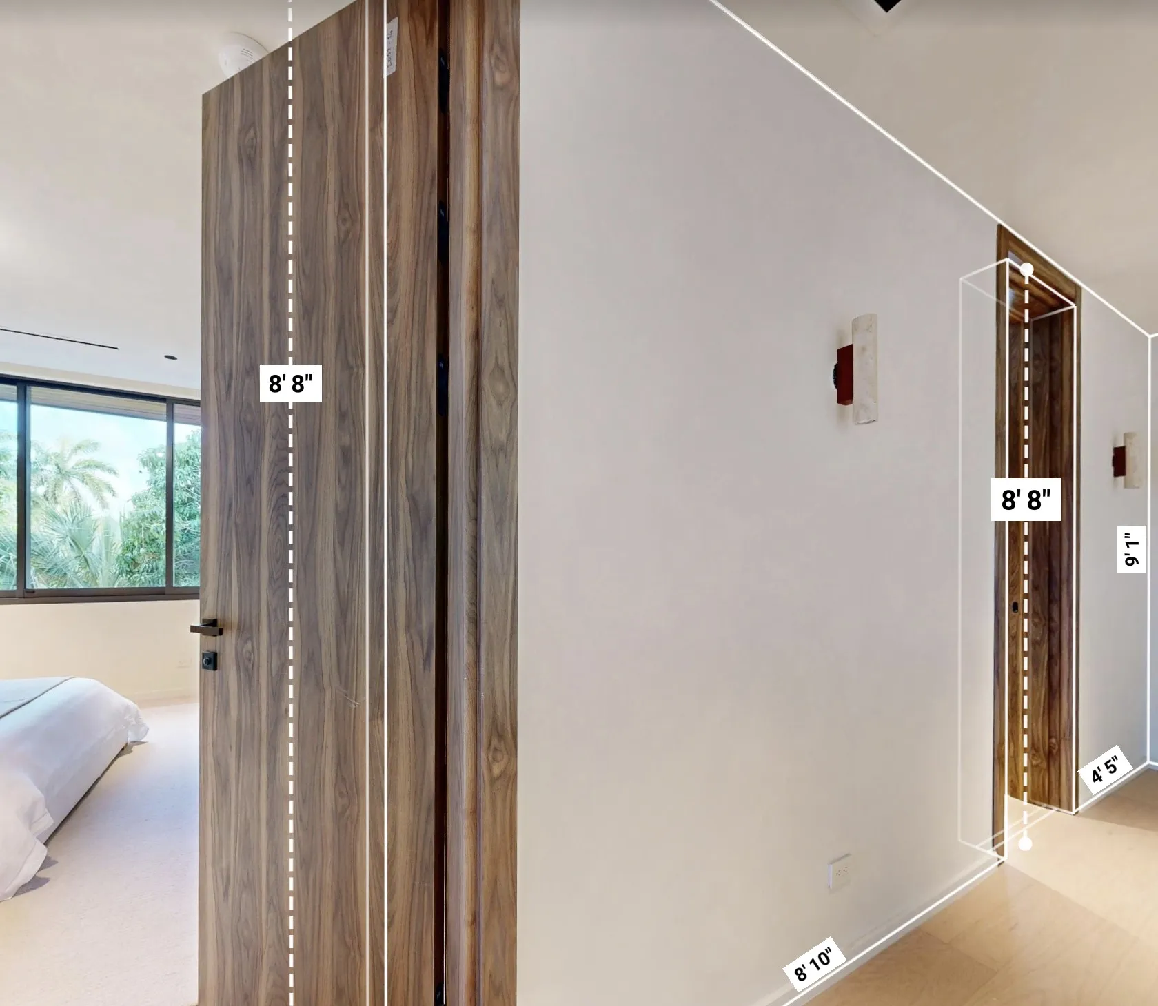
Precise 3D scanning of every space and surface.3D scanning of every space and surface with LiDAR, delivered as a point cloud your engineers and surveyors can work with.
What you receive
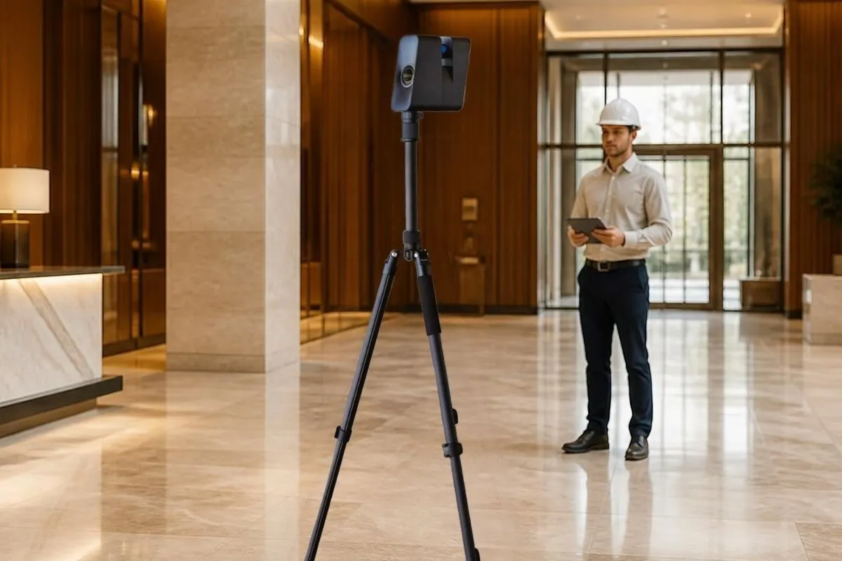
Every space captured with Matterport Pro3
Millions of measured points in true color
Interiors, terraces, pools and facades
E57 and XYZ for your scanning software
Changed areas captured again
File formats
How properties use it
Measure without a site visitEngineers measure and check existing conditions remotely

The base for drawings and modelsThe scan becomes the base for drawings and models

A precise record in timeA precise record of the property at a point in time
Swipe sideways for more
Timeline
Scope, access and schedule
Planned around your guests and events
Scans aligned and checked
E57 and XYZ files in 6 to 8 days
Often combined with
Questions
A precise 3D record of a real place. A LiDAR scanner measures every surface and turns the property into a point cloud your team can measure and build from.
E57 opens in Autodesk ReCap, Leica Cyclone, CloudCompare and most point cloud software. XYZ imports into almost any 3D or CAD program.
Every Matterport scan is captured with the Pro3 LiDAR camera. We agree the accuracy your project needs on the planning call.
Yes. The scanner works indoors and outdoors, so terraces, pools and facades can be captured too.
Yes. We plan around guests and daily operations, capturing area by area so the property keeps running as normal.